

Aerial Drone Services
Utilizing the latest in surveying software and drone technology, Abercrombie Aerial Solutions offers a wide variety of drone services. From smaller residential tracts to large proposed developments, we have the ability to handle sites of almost any size, type & nature. Our drone department utilizes an Unmanned Aerial System (UAS) equipped with LiDAR sensors to capture imagery of your site with the utmost detail. All of our work is performed in-house; from the original mission planning and ground control work, to processing and finally our client deliverable. Our licensed FAA Part 107 pilot and engineering technicians complete all tasks within the company’s control.
Highlighted Services
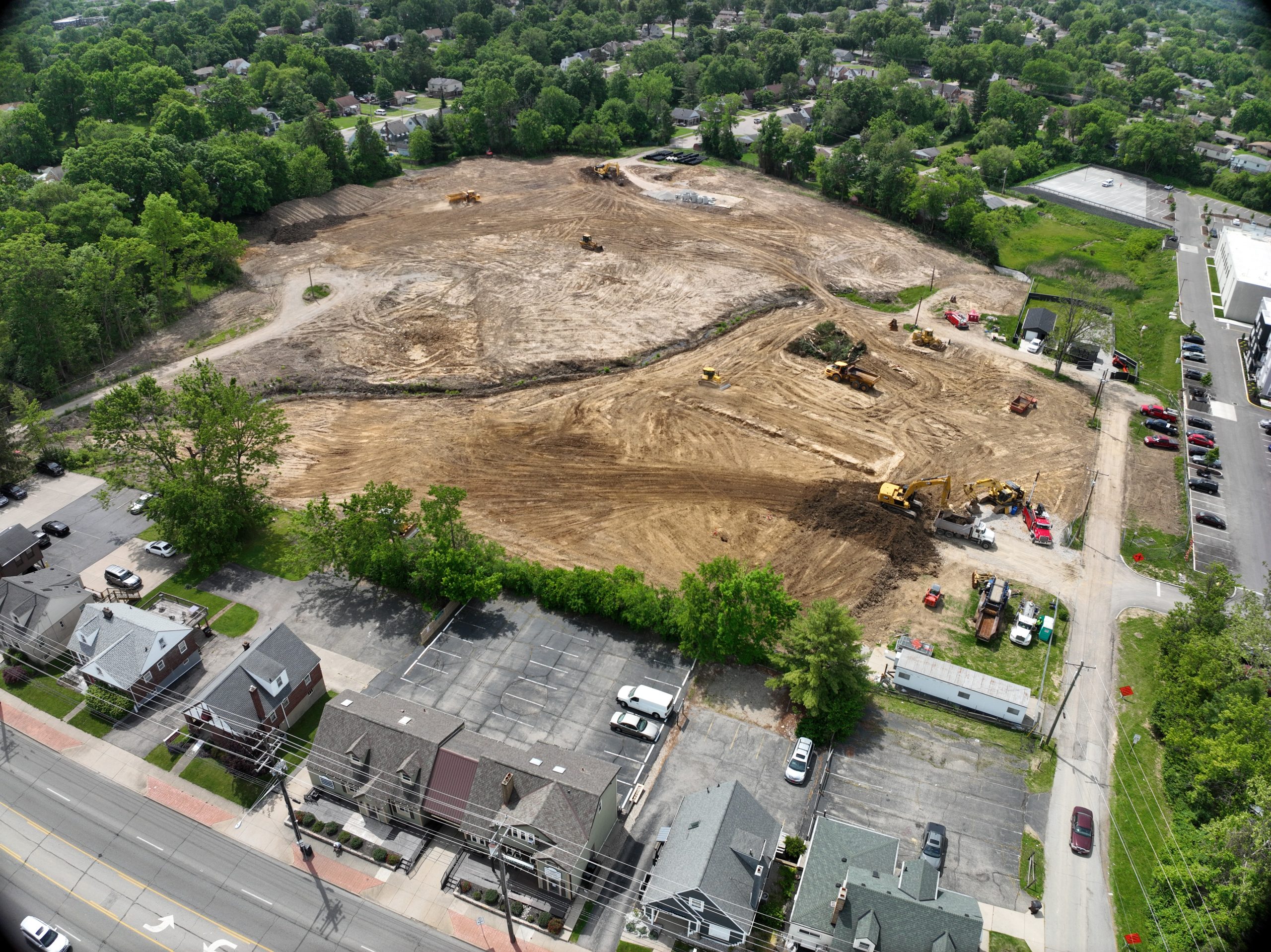
Pre-Planning
Abercrombie & Associates, Inc. has the option of documenting the site before any construction has taken place. This ability can
aid in preliminary design as the project moves forward.
Topographic Mapping
Drones equipped with high-resolution cameras or LiDAR sensors can create 3D terrain models, contour maps, and orthophotos. These practices have helped us to develop a more efficient practice than some of the traditional surveying methods while still adhering to the standards we have held over the nearly 50 years of our firm’s surveying practices.
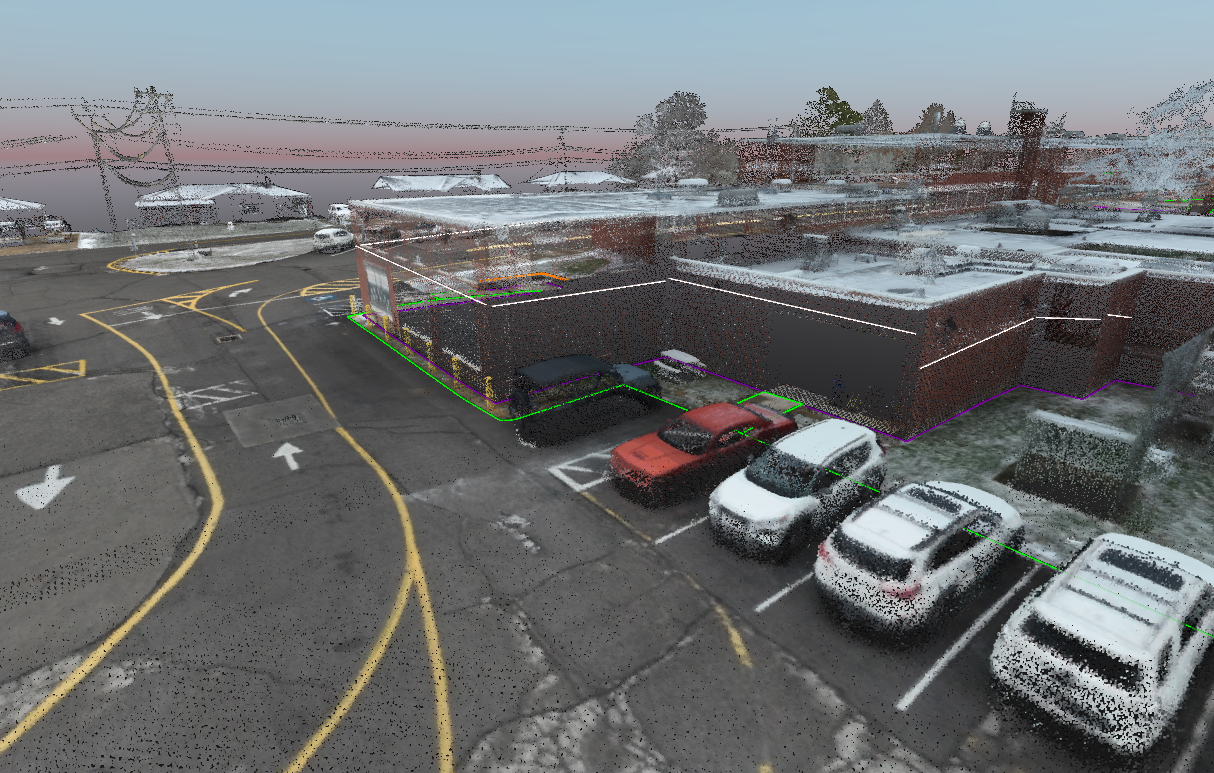
3D Modeling
3D Modeling can be a valuable asset during the course of a construction project. Whether for initial mapping, contour
& elevation creation, topsoil calculations or earth movement
quantities, cut/fill and/or heat maps can be generated to show progress of final overall quantities.
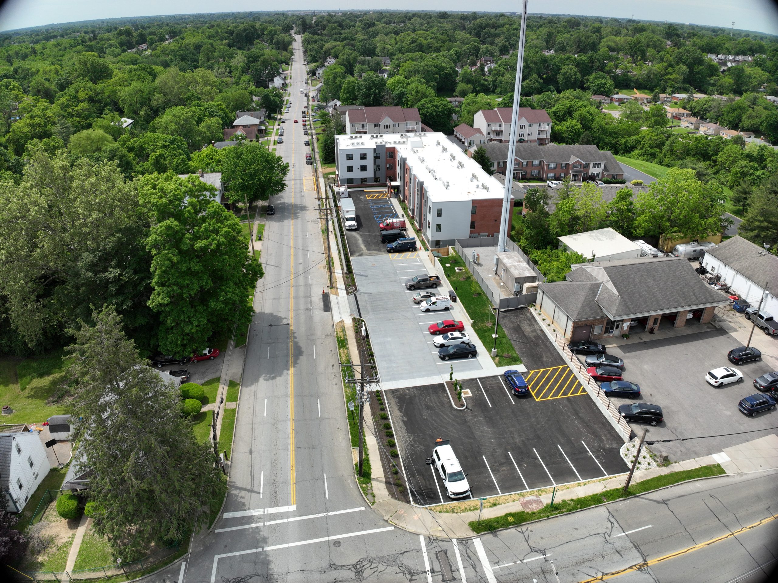
Photo Captures
Abercrombie Aerial Solutions provides photos for an aerial visualization of the site and 3D fly-throughs for potential clients and investors at a very detailed resolution.
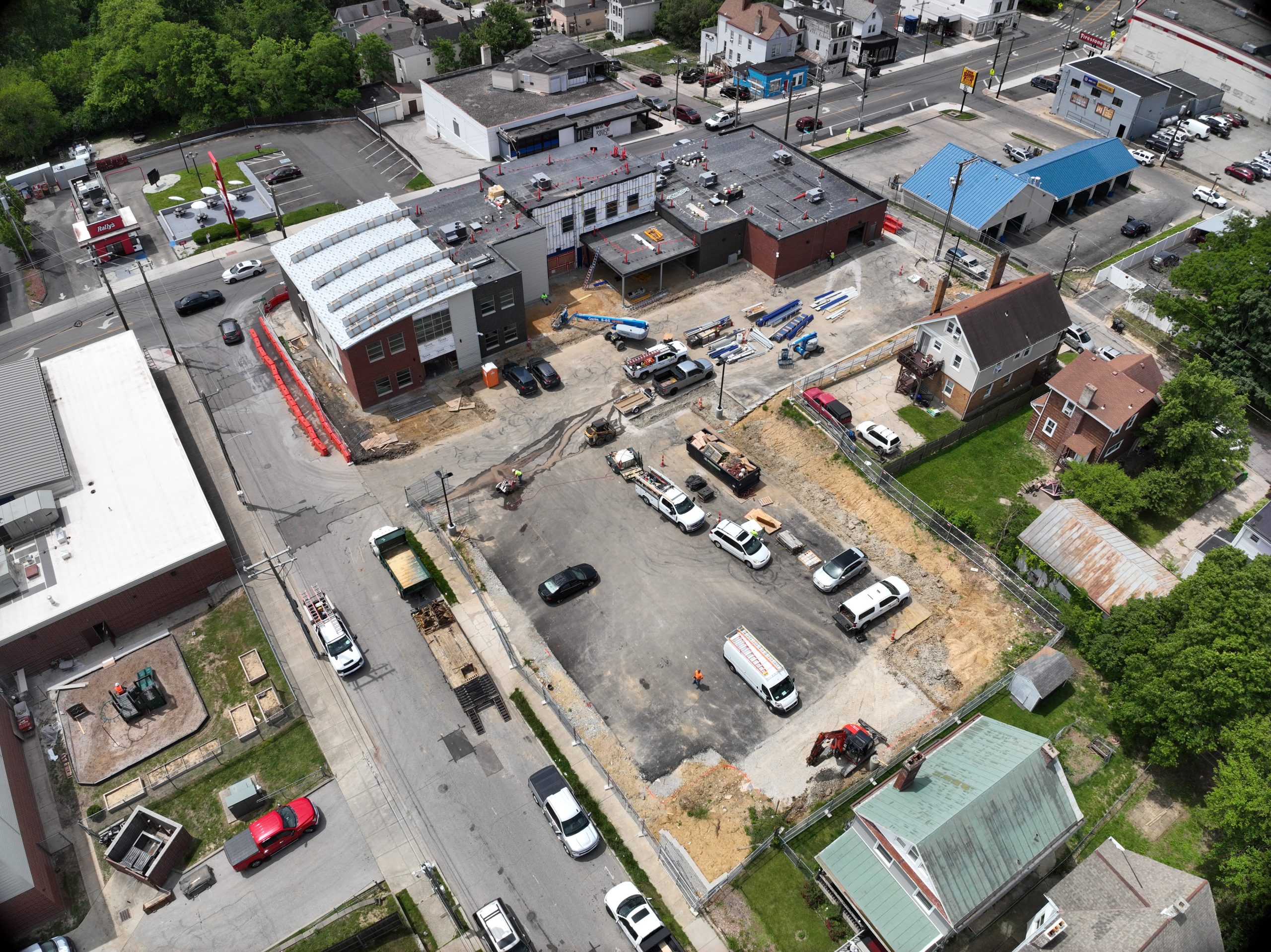
Land Development & Construction
By utilizing drones, we perform site planning, final site design, volume
calculations (quantities) as well as any monitoring progress over time.
Topographic Surveys and photo documentation can take place at any time in a fast manner with no disruption to the ongoing project.
Infrastructure Inspection
Bridges, roads, railways, and pipelines can be surveyed safely using drones to collect data from hard-to-reach areas. We are able to reach places that in years past may have been inaccessible while still keeping the safety of our survey crews in place.
Abercrombie Aerial Solutions has the ability to provide a number of formats to satisfy the client’s needs. These include standard images, planimetric civil 3D files, digital elevation models (DEM) and point clouds (.las).
Call our Experts
We’re only a phone call away! Call (513) 385-5757 and let us know how we can help.
Copyright © 2025 Abercrombie Associates, All Right Reserved.